Navigating and Getting Around Land Park CA in 2026
Land Park CA
Land Park CA
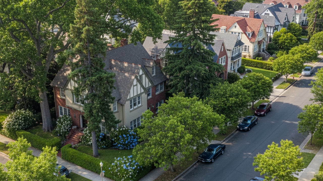
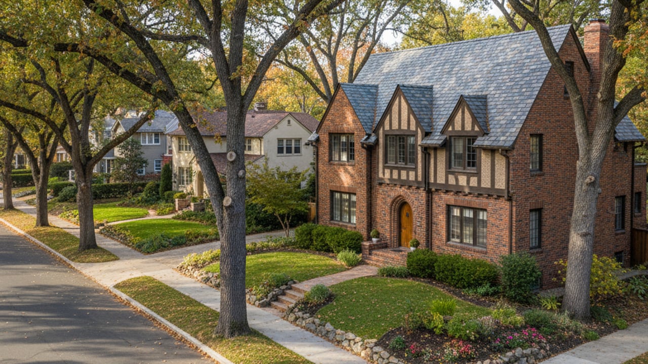
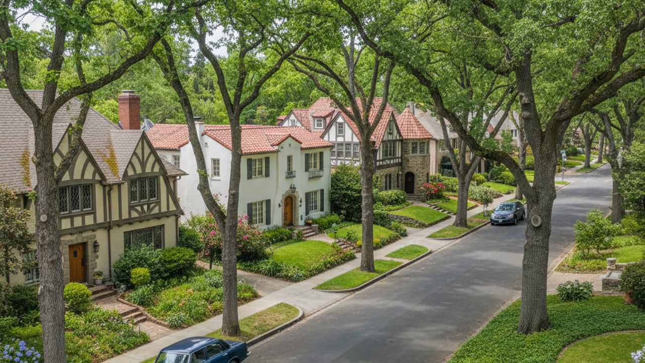
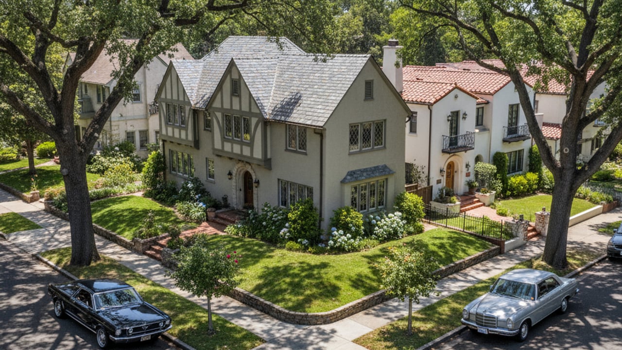
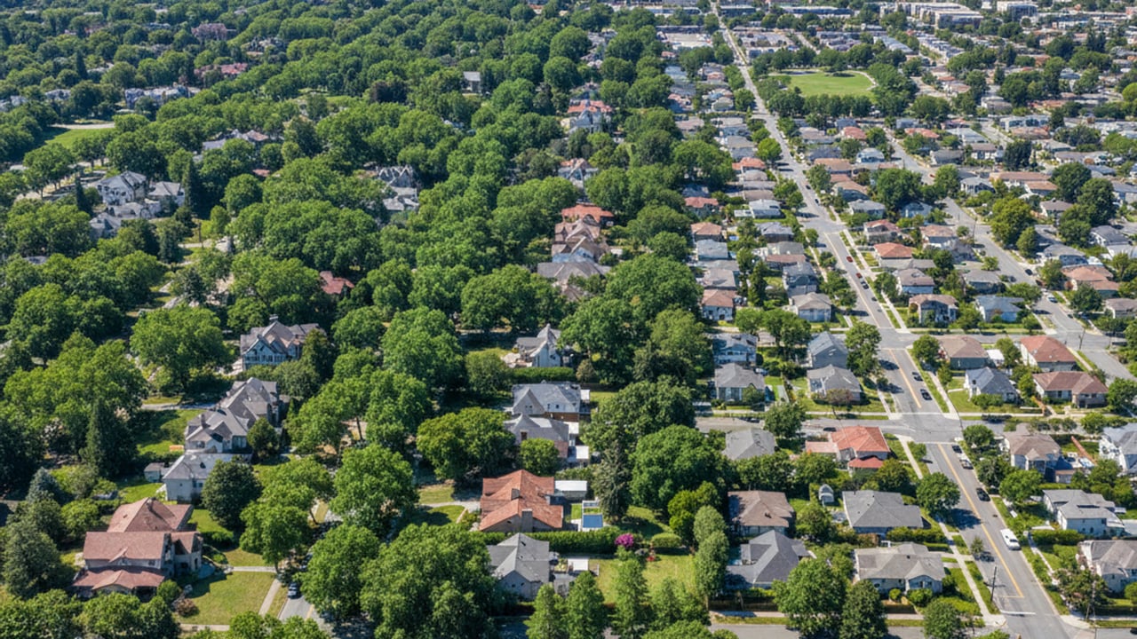
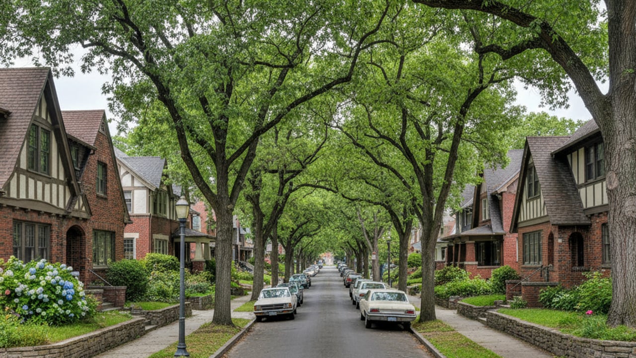
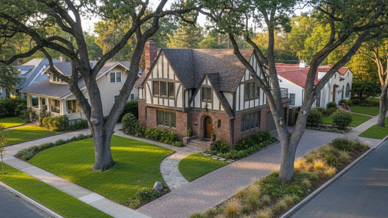
Sacramento is known for its sprawling canopy and historic architecture, and the Land Park neighborhood represents some of the best of these features. Located just south of the city center, this area offers a blend of mature trees, classic homes, and easy access to major regional amenities. Understanding the local transportation layout is crucial when considering a move here.
The reality of getting around Land Park CA is that residents enjoy multiple transit options depending on their daily routine. Whether you are commuting to a state agency downtown or heading across the region for weekend recreation, the neighborhood serves as a highly connected hub. We will look at how the road networks, public transit, and active pathways support daily travel in 2026.
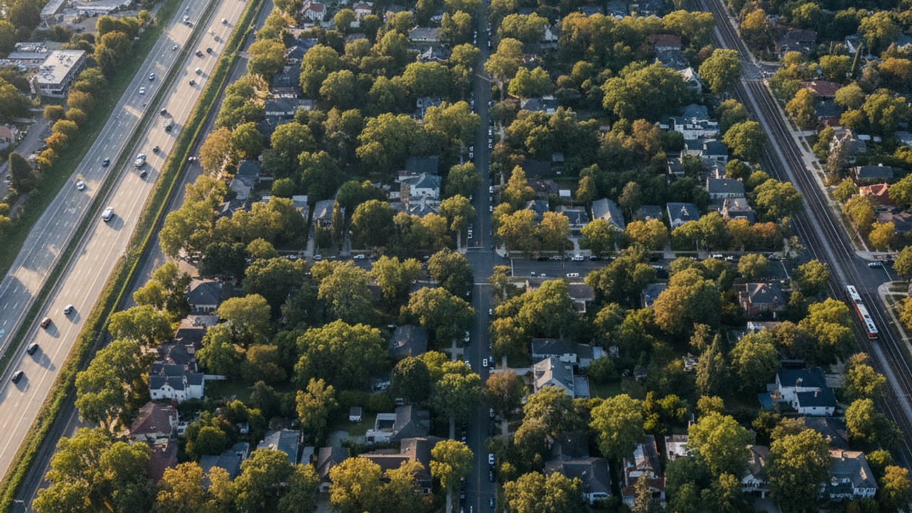
Land Park is a highly accessible neighborhood for vehicle commuters needing quick access to the broader Sacramento region. The western edge of the neighborhood sits immediately adjacent to Interstate 5. This major artery allows for rapid north-south regional travel, making trips toward the airport or down into the Central Valley highly efficient.
To the north, drivers have straightforward access to US Route 50. This corridor is essential for those commuting toward East Sacramento, Rancho Cordova, or Folsom. Having this highway just minutes from residential streets significantly cuts down on cross-town transit times.
State Route 99 borders the area to the east, providing an alternate route for those heading toward south Sacramento and Elk Grove. The strategic positioning between these three major freeways means residents rarely have to navigate miles of surface streets before hitting a highway on-ramp. For daily drivers, this highway proximity is one of the strongest selling points of the neighborhood.
Proximity to major highways naturally translates into highly efficient daily commutes. For buyers evaluating a move, knowing the exact drive times to key employment centers is a vital part of the decision.
Downtown Sacramento and State Capitol: Approximately 10 to 15 minutes, covering just under 3 miles via surface streets or I-5.
UC Davis Medical Center: Roughly 10 to 15 minutes driving eastward via local roads or US Route 50.
Sacramento International Airport: About 20 minutes heading north directly on Interstate 5.
These short transit times keep daily travel stress to a minimum. Relying on close-in routes also means fewer miles driven annually, which can help lower vehicle maintenance costs over time.
The Sacramento Regional Transit system, known as SacRT, provides robust coverage throughout the Land Park area as of 2026. Residents who prefer to leave their cars at home have reliable daily options for navigating the city. The bus network weaves through the primary commercial and residential corridors, ensuring most homes are within a short distance of a stop.
Key bus routes utilized by locals include Route 11, which connects the Natomas and Land Park areas. Commuters also frequently rely on Route 106 and Route 227 for specific transit needs during peak hours. These daily local routes run on consistent schedules, making them a dependable choice for those working standard office hours.
For regional commuting, the light rail network offers an excellent alternative to highway driving. The Blue Line is easily accessible at the nearby City College Station, located just east of the neighborhood. This station serves as a vital access point for car-free commuting directly into downtown Sacramento or further south toward Meadowview.
Active transportation is a major part of the local lifestyle, reflected in a Walk Score roughly between 68 and 70. This rating indicates the area is somewhat to very walkable, depending on exactly which street you live on. Meanwhile, the neighborhood boasts a Bike Score ranging from 70 to 90, earning it a reputation as a biker's paradise.
The 166-acre William Land Regional Park serves as the recreational anchor for the area. This massive green space features extensive paved trails that are heavily utilized by pedestrians, joggers, and casual cyclists. These paths connect various park amenities, including the Sacramento Zoo and Fairytale Town, creating a scenic route away from vehicle traffic.
On the major thoroughfares, the city has invested in dedicated bicycle infrastructure. Freeport Boulevard features prominent bike lanes that help cyclists navigate safely alongside vehicle traffic. The exceptionally flat terrain and mature tree canopy enhance the pedestrian and cycling experience year-round by providing ample shade during the warmer months.
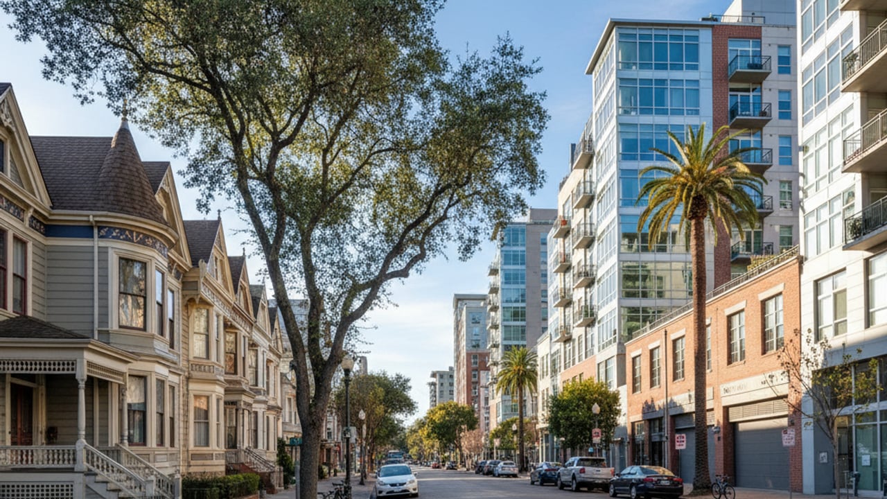
You do not need a car to enjoy the commercial corridors that border the residential streets. The northern edge of the neighborhood is anchored by Broadway, a bustling street featuring the historic Tower Theatre, eateries, and unique shops. Residents easily walk or bike here for evening entertainment or weekend dining.
The Riverside Boulevard corridor offers another accessible hub for neighborhood services, boutique shopping, and local coffeehouses. Historic anchor businesses like Vic's Ice Cream and Freeport Bakery are woven directly into the community fabric. Reaching these local staples on foot means you never have to worry about securing a parking spot on a busy Saturday morning.
The neighborhood is located just under 3 miles south of downtown Sacramento. Driving takes approximately 10 to 15 minutes via Interstate 5 or local surface streets. It is an incredibly convenient distance for daily commuters working in the city center.
Yes, you can easily navigate the area without a personal vehicle. The neighborhood features a Bike Score up to 90, extensive sidewalks, and reliable SacRT bus service. Many residents walk or cycle to local commercial hubs like Riverside Boulevard for their daily needs.
The closest light rail access point is the City College Station. This stop services the SacRT Blue Line, which runs north into downtown and south toward Meadowview. It provides a highly efficient, car-free commuting option for regional travel.
Stay up to date on the latest real estate trends.
Land Park CA
Land Park CA
Land Park CA
Land Park CA
Land Park CA
Land Park CA
Land Park CA
Land Park CA
Land Park CA
Your real estate goals are within reach, and we’re here to be your guide. Whether you’re searching for your first home, looking to build your investment portfolio, or ready to maximize the sale of your property, MegaBliss Real Estate will provide the support, expertise, and dedication you need to reach your goals.
Get In Touch With Our Team To Learn More
1007 7th St Ste 400 Sacramento CA 95814 Melissa Allman | CA DRE# 01397300