Understanding the History of East Sacramento, CA: Origins, Landmarks, and Local Culture
East Sacramento
East Sacramento
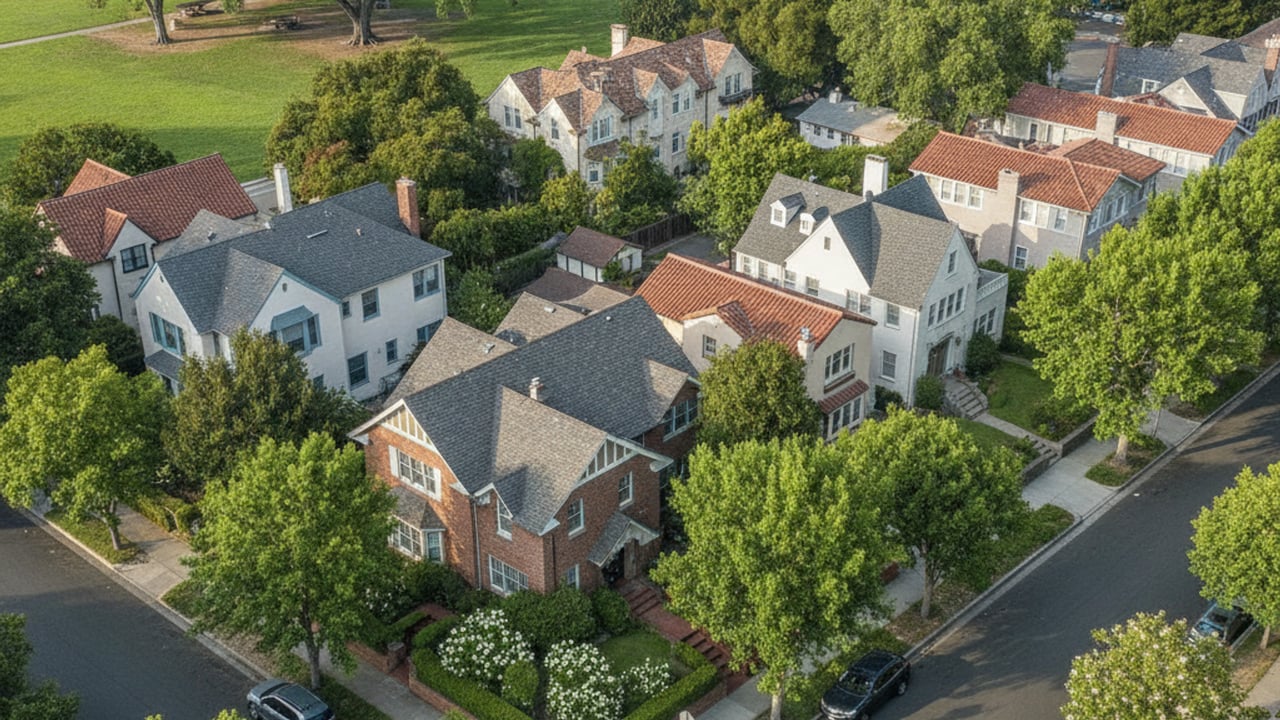
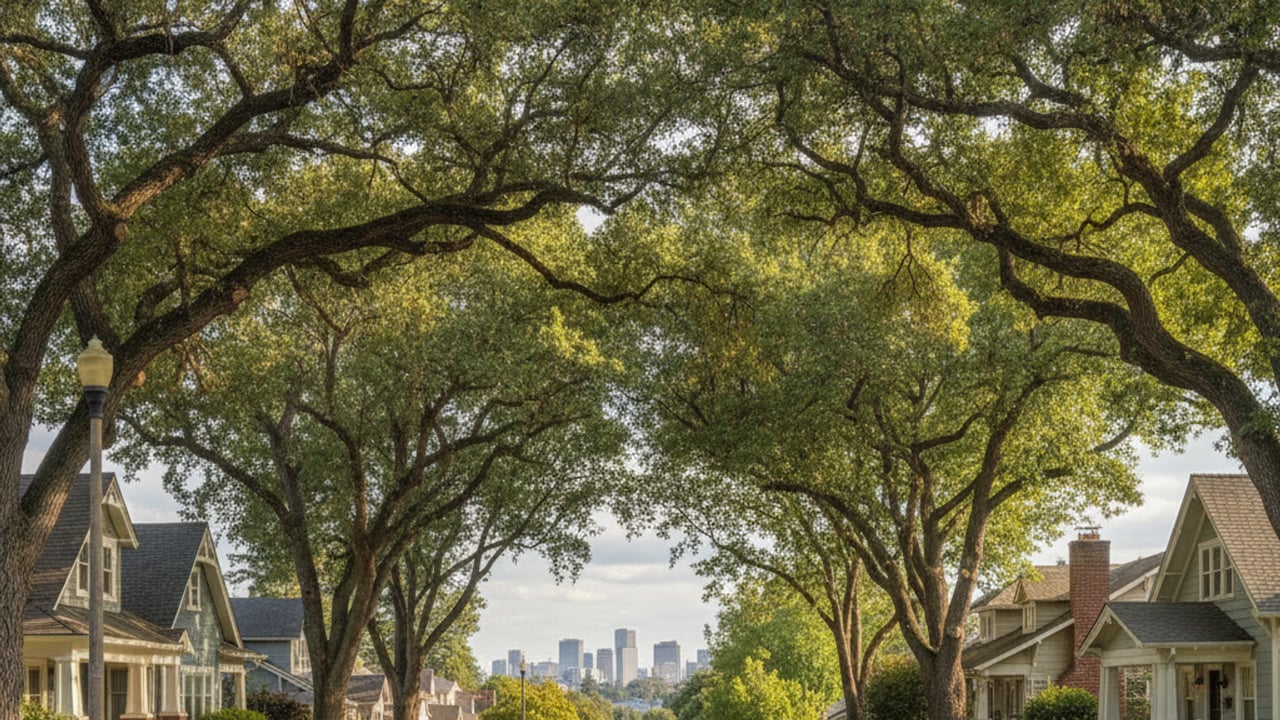
East Sacramento stands out in the capital region for good reason - tree-canopied streets, a walkable grid, and architecture that spans several decades of residential design. It's the kind of place where buyers aren't just shopping for square footage. Anyone interested in living in East Sacramento wants to understand what they're actually buying into.
The numbers reflect that demand clearly. Homes here sell for a median price of roughly $800,000, spend an average of just 9 days on the market, and routinely close at about 102% of list price. With only around 39 homes available at any given time, inventory is tight. If you're seriously looking here, knowing the neighborhood's background isn't just interesting - it helps you make faster, better decisions.
East Sacramento doesn't have a founding year the way an incorporated town would. It grew as a residential extension of Sacramento proper during the late 19th century, shaped almost entirely by where the streetcar lines went.
Today it functions as a distinct neighborhood within the city limits, with its own identity built around historic homes, large parks, and active local commercial streets - even though it shares civic infrastructure with the rest of Sacramento.
The area was formally annexed into the City of Sacramento in 1911. Before that, it was unincorporated farmland. Development started gaining momentum in the 1890s when the firm Wright & Kimbrough began subdividing the land into tract homes.
Those subdivisions were designed around the new streetcar lines extending eastward from the city center. That early infrastructure - the grid layout, the lot sizes - is still visible today.
East Sacramento is a neighborhood within the city of Sacramento, not its own municipality. Sacramento itself is the core city of the Sacramento–Roseville metropolitan area, which is part of the larger Sacramento–Roseville combined statistical area.
Residents pay city taxes, use city services, and fall under Sacramento city jurisdiction. Distinct name, distinct identity - but the same civic infrastructure as the rest of the capital.
East Sacramento sits entirely within Sacramento County, just east of the central downtown and midtown districts, with the American River forming its northern boundary.
That position gives you direct access to major regional thoroughfares and keeps commute times to other parts of the Sacramento–Roseville combined statistical area reasonable.
The neighborhood falls fully within city limits, so it operates under both city and county governance. Sacramento County handles regional services, public health, and property records - and because there's no overlap into neighboring county lines, the administrative side of buying here is straightforward. One county, one set of offices.
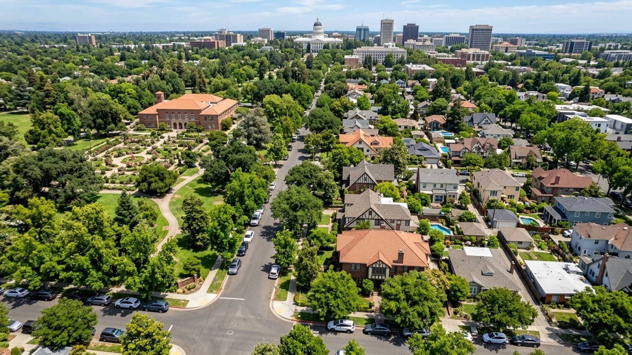
The Sacramento–Roseville–Arden-Arcade MSA covers a large geographic footprint, but East Sacramento stays close to the urban core. Proximity to the state capitol and downtown business districts is a significant driver of real estate demand here. The American River Parkway is right there too - immediate access to one of the region's major recreational corridors.
The name is exactly what it sounds like. As Sacramento expanded beyond its original downtown borders, new subdivisions needed practical designations, and "East Sacramento" told you precisely where you were relative to the city grid. It stuck.
When Wright & Kimbrough started marketing tract homes in the 1890s, the selling point was accessibility to the city. The directional name made that pitch simple - buyers could immediately place the new lots on a mental map.
The name hasn't changed in over a century. Even as Sacramento annexed land much further east, this specific neighborhood kept the original title.
Directional naming is common in regional real estate, and East Sacramento's straightforward nomenclature does exactly what it's supposed to - it helps residents and visitors orient themselves within the capital region. The name signals proximity to the urban center while distinguishing the area from the denser downtown grid.
As the broader Sacramento–Roseville metropolitan area expanded outward, this neighborhood held onto its original designation. It remains a clear marker of the area's historical position as one of the first suburbs established just past the original city limits.
Before the 1890s, the land that now makes up East Sacramento was primarily unincorporated farmland. The shift toward residential housing began when streetcar lines pushed outward from the city center and Wright & Kimbrough started purchasing large tracts and subdividing them into residential lots. That's really the origin story - one development firm, one transportation network, and a rural landscape that transformed into Sacramento's first streetcar suburb.
Construction increased steadily through the turn of the century as the streetcar system made commuting practical. Buyers built in various architectural styles, which is why the streetscape feels varied rather than uniform.
Annexation came in 1911, bringing paved roads, water, and sewer connections - and with those municipal services in place, home construction accelerated further.
The 1920s and 1930s saw the construction of many of the neighborhood's most prominent homes, particularly in the sections with larger lots. By mid-century, the neighborhood was largely built out.
New construction here is rare now. What you're looking at is almost entirely a resale and renovation market.
East Sacramento has several historical sites that define what the neighborhood actually looks and feels like. Preservation efforts have kept the architectural integrity of many original homes and public spaces intact, which is part of why buyers interested in historic properties concentrate their searches here.
McKinley Park is the neighborhood's most prominent landmark - a 32-acre park with a well-known rose garden that functions as a central gathering space for the surrounding blocks.
The Fabulous Forties district is the other major historic enclave within the neighborhood. Wide streets, mature trees, large custom-built homes on expansive lots - it's a distinct pocket even within East Sacramento. The former Alhambra Theatre site is also a recognized historic location, though the original building no longer stands.
There's no dedicated history museum within East Sacramento itself. For formal exhibits, the Sacramento History Museum in Old Sacramento is where residents and visitors typically go - it holds extensive records about the region's development, including the streetcar suburb expansion. Local preservation societies also offer resources and walking tours focused specifically on East Sacramento's architectural heritage.
The residential architecture gets a lot of attention, but East Sacramento's identity is also built around its commercial corridors - a high concentration of independent businesses, restaurants, and cafes that give the neighborhood its day-to-day energy.
The dining scene reflects Sacramento's broader reputation as America's Farm-to-Fork Capital. Restaurants here regularly source ingredients directly from Central Valley farms, and you'll find everything from casual cafes to upscale dining within walking distance of the residential blocks.
The density of eateries makes this a genuinely walkable neighborhood for daily life, not just commuting. That's a real draw for buyers who want modern amenities alongside historic residential character - and it's one of the reasons the area holds its value the way it does.
East Sacramento has drawn some well-known residents over the years, particularly within the Fabulous Forties. President Ronald Reagan and Nancy Reagan lived at 1341 45th Street during most of his term as Governor of California. Former Sacramento mayor and NBA player Kevin Johnson and cookbook author and restaurateur Biba Caggiano are also associated with the neighborhood. These connections are part of what gives the area its broader recognition.
The oldest homes are generally found in the subdivisions plotted by Wright & Kimbrough in the 1890s along the original streetcar lines. The Fabulous Forties district also contains many historic properties, with substantial development occurring there in the 1920s and 1930s.
You can search property records through the Sacramento County assessor's office to find initial construction dates and past ownership. The Sacramento History Museum in Old Sacramento also maintains archives and resources regarding early city expansion and residential development.
Modifications to homes with formal historic designations must comply with City of Sacramento preservation guidelines. Exterior changes often require review to ensure they maintain the property's original architectural character, so consult the city's historic preservation office before planning any major renovations.
Yes, homes in the Fabulous Forties often command higher prices due to their larger lots, custom historic architecture, and neighborhood prestige. With the median sale price for East Sacramento at roughly $800,000, properties in this specific enclave frequently sell well above that figure.
The property needs to be formally listed on a historic register before you can apply. From there, the owner enters into a contract with the city, agreeing to preserve and maintain the home in exchange for potential property tax reductions. Check with the city planning department for application deadlines and specific eligibility rules.
The initial wave of residential construction started in the 1890s when the area was subdivided into streetcar suburbs. Building accelerated after annexation by the city in 1911, with heavy development continuing through the 1920s and 1930s.
Stay up to date on the latest real estate trends.
East Sacramento
Land Park CA

Land Park CA
Land Park CA
Land Park CA
Land Park CA
Your real estate goals are within reach, and we’re here to be your guide. Whether you’re searching for your first home, looking to build your investment portfolio, or ready to maximize the sale of your property, MegaBliss Real Estate will provide the support, expertise, and dedication you need to reach your goals.
Get In Touch With Our Team To Learn More
1007 7th St Ste 400 Sacramento CA 95814 Melissa Allman | CA DRE# 01397300