Commute Times from East Sacramento CA: Transportation Logistics in 2026
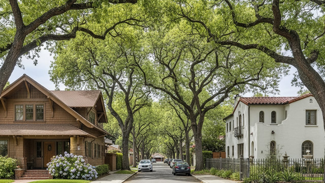
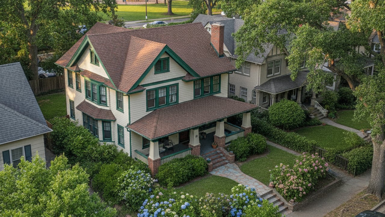
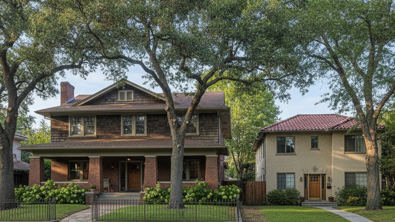
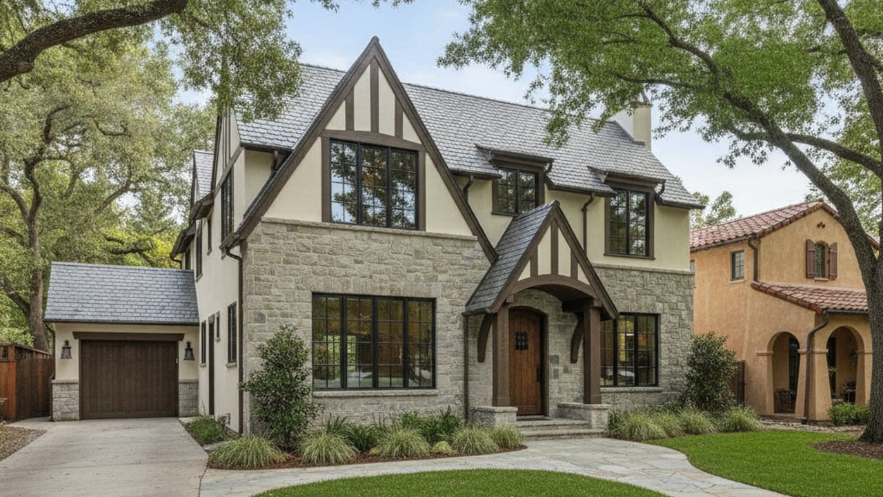
East Sacramento
East Sacramento
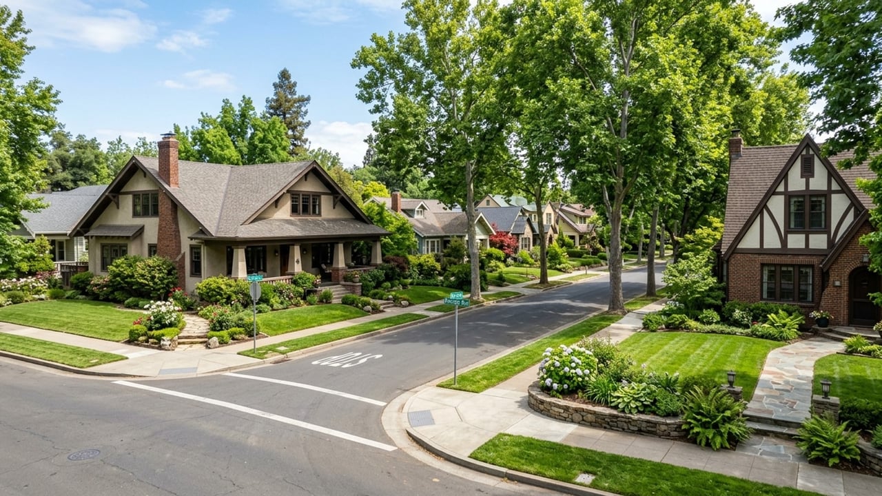
East Sacramento offers a distinct geographic advantage for anyone navigating the Sacramento region. Located directly east of the central grid, this historic neighborhood provides immediate access to major employment centers without the grueling highway hauls found in the outer suburbs. Buyers moving to the area often prioritize travel logistics just as much as architectural charm.
Understanding commute times from East Sacramento CA is crucial when evaluating housing costs in the current 2026 market. While real estate prices here carry a premium, the return on investment often comes in the form of reclaimed personal time. Navigating the daily transit routes efficiently requires a solid grasp of local freeway bottlenecks, public transit schedules, and active commuting paths.
As the regional footprint expands, securing a property with a manageable daily drive becomes increasingly valuable. Buyers must carefully weigh their transportation options before committing to a specific zip code. A deep dive into local infrastructure reveals exactly why this neighborhood commands such strong real estate demand.
East Sacramento sits in an incredibly strategic position just minutes from the urban core. The average commute to downtown Sacramento is typically under 15 to 20 minutes in normal traffic. This inner-city proximity is a massive draw for state workers and medical professionals who need to reach centralized offices quickly.
When compared to the broader area, this neighborhood offers a significant logistical advantage. The Census Bureau notes a regional average commute of 27.6 minutes, making East Sacramento noticeably faster for downtown travel. Paying a premium for a home here directly translates to less time sitting behind the wheel during the workday.
The predictable nature of these short drives fundamentally changes the daily routine for local homeowners. Instead of spending an hour on a congested interstate, residents can navigate the surface streets with relative ease. This level of convenience remains a primary catalyst for the competitive housing market in the immediate area.
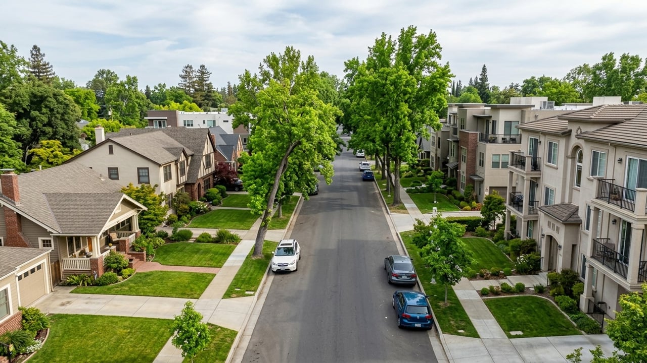
The neighborhood is bordered by two major arteries that dictate regional traffic flow. Highway 50, also known as the El Dorado Freeway, forms the southern border, while Business 80, the Capital City Freeway, runs along the western edge. Drivers relying on these routes must account for specific stop-and-go conditions during the morning rush hour.
Congestion typically peaks between 7:00 a.m. and 9:00 a.m. for inbound traffic, with a similar bottleneck forming between 4:00 p.m. and 6:00 p.m. in the evening. Commuters can expect a 10-minute to 15-minute delay when merging onto these city freeway segments during peak hours. Learning the local surface street alternatives is essential for bypassing these daily slowdowns.
Navigating these specific interchanges requires a bit of local expertise. Drivers quickly learn which on-ramps to avoid and which alternate routes offer the least resistance during a heavy delay. Mastering these traffic patterns is a rite of passage for anyone new to the neighborhood.
The UC Davis Medical Center is located immediately south of East Sacramento, just across Highway 50. This creates an exceptionally short commute for the thousands of medical professionals employed at the campus. The drive is typically less than two miles and takes roughly 5 to 10 minutes from most driveways in the neighborhood.
Many residents completely bypass the city freeway when heading to the hospital complex. Utilizing surface streets like Stockton Boulevard or 39th Street provides a direct, low-stress route. This hyper-local proximity is a major factor driving real estate demand in the southern half of the neighborhood.
The proximity to this major healthcare hub anchors the local economy and stabilizes housing demand. Properties within walking distance of the campus rarely stay on the market for long. Buyers recognize that eliminating a vehicular commute entirely is a rare luxury in modern California.
The Sacramento Regional Transit District, known locally as SacRT, operates an extensive network of light rail and bus services throughout the area. East Sacramento enjoys robust integration with this regional transit grid. Utilizing these public options allows commuters to completely bypass bad traffic and highway delays.
Choosing public transit over driving is increasingly popular for residents working in the downtown core. The infrastructure here is heavily geared toward making car-free travel both reliable and efficient. Proximity to a transit station is a major selling point that consistently boosts property values across the neighborhood.
SacRT continually updates its infrastructure to serve the evolving needs of the workforce. Recent investments in station security and digital ticketing have streamlined the passenger experience significantly. For many households, reliable public transit eliminates the financial burden of owning a second car.
The SacRT Gold Line runs directly along Folsom Boulevard, serving as the primary rail artery for the neighborhood. Commuters have access to several key stations, including the 39th Street, 48th Street, 59th Street, and University/65th Street stops. The system has seen significant upgrades recently, including the integration of modern, low-floor trains that speed up boarding.
Schedule frequency is highly optimized for the daily workday routine. Trains arrive at 15-minute intervals during peak commuting hours, minimizing wait times on the platform. This reliable schedule makes the light rail a highly practical alternative to paying for monthly parking downtown.
Living near a Gold Line station provides a tangible boost to daily flexibility. Commuters can easily track train arrivals via mobile apps, ensuring they never waste time standing on the platform. This seamless integration of technology and transit is a major asset for the local community.
Local SacRT bus routes provide additional connectivity, linking East Sacramento to midtown and surrounding commercial districts. These bus lines effectively bridge the gap for residents living further north of the light rail corridor. For longer regional travel, commuters can easily take the light rail directly to the Sacramento Valley Station.
From the Sacramento Valley Station, passengers can transfer to the Amtrak Capitol Corridor. This heavy rail service is vital for super-commuters traveling to the San Francisco Bay Area and the East Bay. It offers a productive, wi-fi-enabled ride that completely avoids the notorious interstate traffic.
The Amtrak Capitol Corridor is particularly valuable for hybrid workers who only need to visit Bay Area offices occasionally. The train provides a comfortable environment where passengers can work on their laptops while rolling past the traffic jams. It transforms a grueling regional drive into a highly productive segment of the workday.
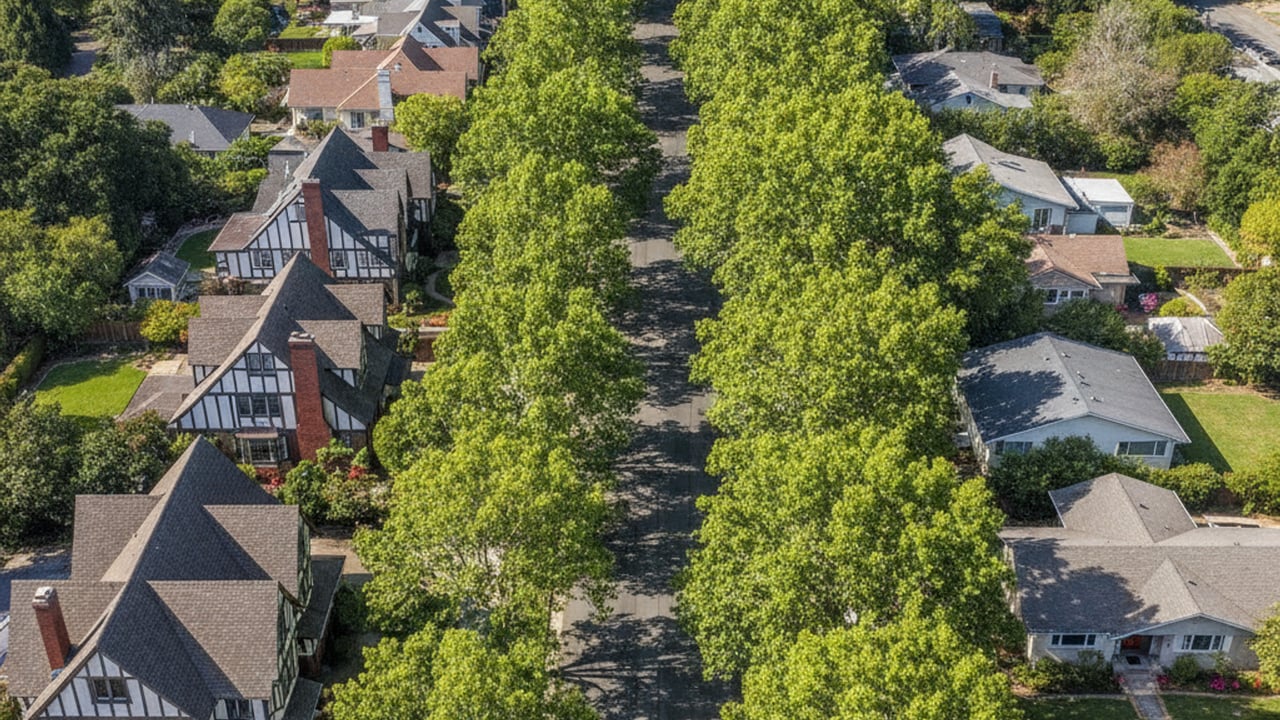
East Sacramento features a flat, tree-lined street grid that is highly conducive to cycling. Dedicated bike lanes are painted onto major thoroughfares, creating a structured environment for non-motorized travel. Active commuting is a deeply ingrained alternative to driving for the local workforce.
The neighborhood provides seamless access to some of the best recreational and commuter trail infrastructure in California. Biking or walking to work is not just a weekend hobby here - it is a viable daily logistical choice. Buyers who prefer an active lifestyle often target this zip code specifically for its cycling amenities.
The city has invested heavily in active transportation infrastructure over the past decade. Protected intersections and highly visible crosswalks make non-motorized travel safer and more appealing. This commitment to alternative transit aligns perfectly with the lifestyle goals of many modern homebuyers.
Cyclists have immediate access to the 32-mile American River Bike Trail via local access points like Sutter's Landing or the Guy West Bridge. This paved, multi-use path completely separates bicycles from vehicle traffic. The route heads west along the river, delivering riders directly into downtown Sacramento.
During peak stop-and-go traffic, cycling can actually rival driving times. A typical bike ride from East Sacramento to the central business district takes approximately 20 to 30 minutes. For many residents, this active commute is faster, cheaper, and far less stressful than navigating the city freeway network.
The scenic nature of the American River Bike Trail adds a unique element of tranquility to the morning routine. Riders pass through lush riparian habitats and open parklands before arriving at the urban center. It is a striking contrast to the exhaust fumes and frustration typically associated with a morning commute.
The inner-city convenience of East Sacramento stands in sharp contrast to the longer travel times experienced in outer suburban housing tracts. Buyers evaluating the broader Sacramento region must weigh the upfront cost of housing against the daily cost of commuting. Living closer to the urban core inherently reclaims hours of personal time each week.
The Census Bureau reports a 27.6-minute average commute across the greater metropolitan area. Residents in East Sacramento routinely beat this regional average by a wide margin. Ultimately, paying a $700,000 to $900,000 premium for a single-family home in this specific zip code often yields a direct, daily return in transportation efficiency.
Real estate professionals consistently highlight commute times as a primary factor in property valuation. Homes located within a 20-minute radius of major employment centers simply hold their value better during economic shifts. The intrinsic value of location efficiency cannot be overstated when evaluating long-term investments.
Comparing regional markets highlights the distinct advantages of an East Sacramento address. Commuters traveling from Roseville face a heavy reliance on Interstate 80, which is notorious for severe morning bottlenecks. Similarly, residents in Elk Grove regularly encounter significant delays traveling north on Highway 99.
West Sacramento offers a comparable physical proximity to the downtown core. However, drivers there must rely on crossing controlled-access highway bridges over the Sacramento River, which creates isolated traffic choke points. East Sacramento avoids these bridge delays entirely by sharing the same continuous landmass as the central employment hubs.
Each of these suburban alternatives requires a clear compromise between housing square footage and daily travel time. Buyers must decide if a larger yard in the suburbs is worth an extra five hours of driving each week. For those prioritizing a streamlined workday, the inner-city neighborhoods remain the clear winner.
The morning rush hour typically peaks between 7:00 a.m. and 9:00 a.m. across the regional highway network. Drivers can expect the most severe stop-and-go conditions around 8:00 a.m. on major routes like Highway 50 and Business 80.
Yes, the SacRT Gold Line provides direct service from East Sacramento straight into the downtown core. Commuters can reach central stations in approximately 15 to 20 minutes from the 39th Street or 48th Street platforms.
Commuting to the San Francisco Bay Area via the Amtrak Capitol Corridor generally takes about two hours to reach the East Bay. Driving times vary wildly based on Interstate 80 traffic, often exceeding two and a half hours during peak morning travel.
Stay up to date on the latest real estate trends.
Land Park CA
East Sacramento

Awards
Land Park CA
Land Park CA
Land Park CA
Land Park CA
Your real estate goals are within reach, and we’re here to be your guide. Whether you’re searching for your first home, looking to build your investment portfolio, or ready to maximize the sale of your property, MegaBliss Real Estate will provide the support, expertise, and dedication you need to reach your goals.
Get In Touch With Our Team To Learn More
1007 7th St Ste 400 Sacramento CA 95814 Melissa Allman | CA DRE# 01397300