Navigating the Grid: A 2026 Guide to Getting Around East Sacramento CA
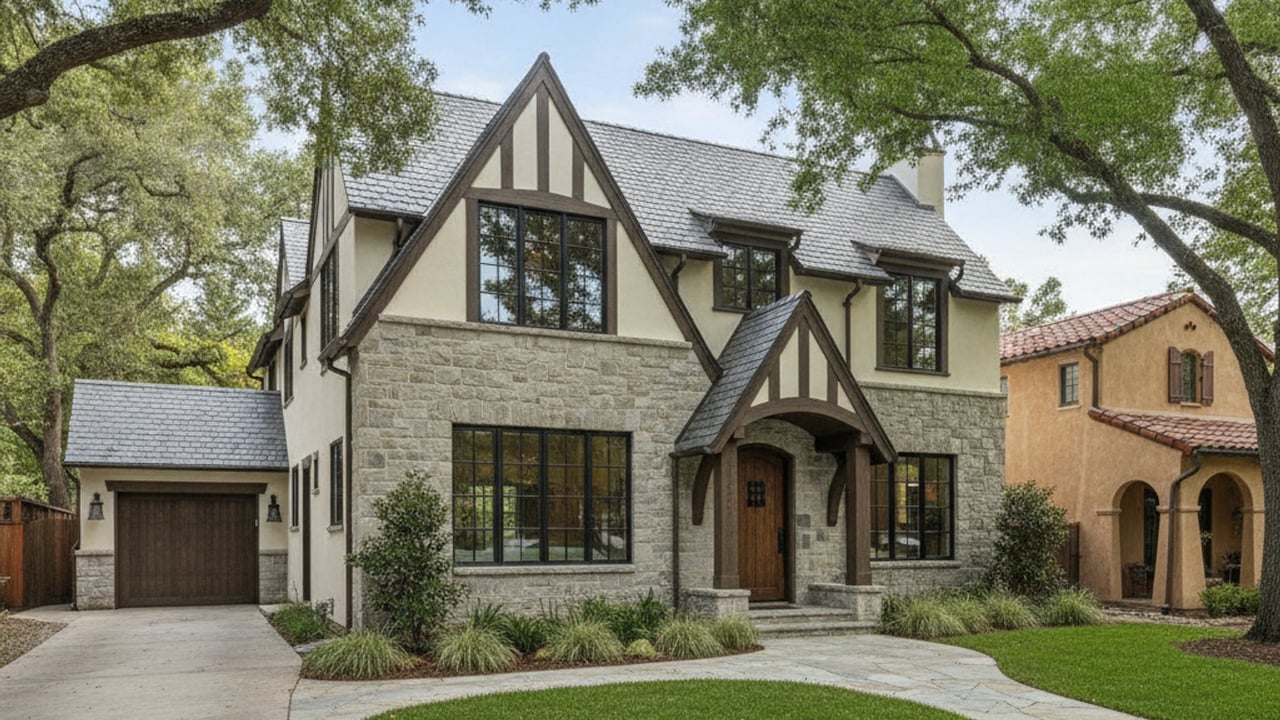
East Sacramento
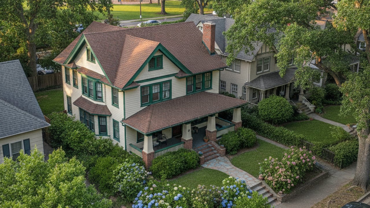
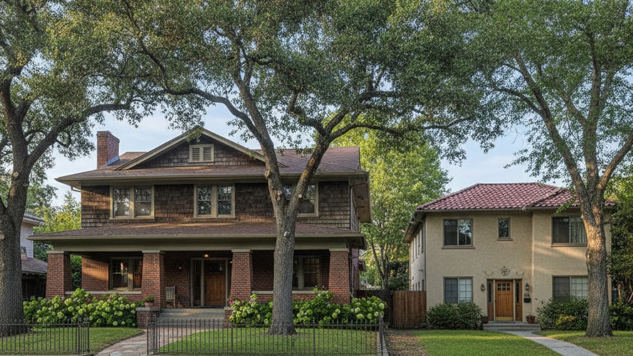
East Sacramento
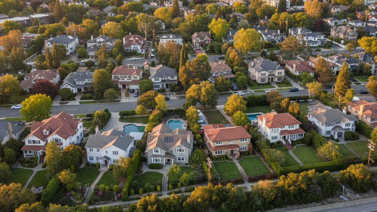
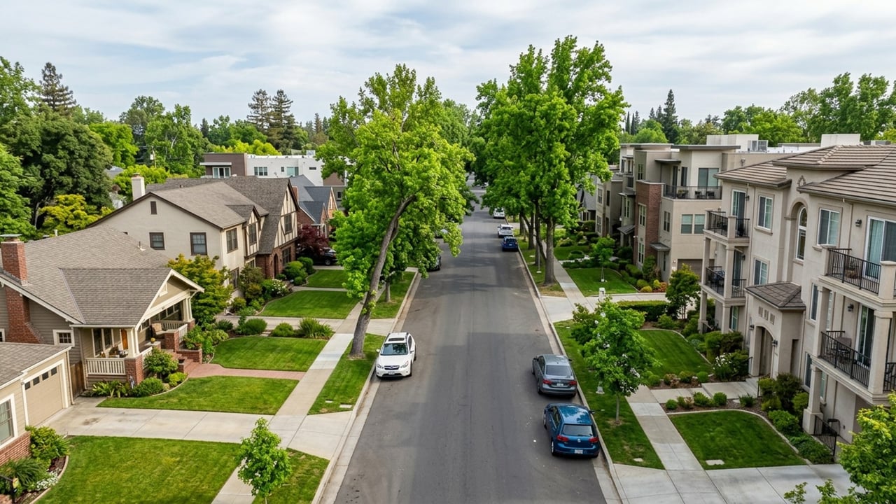
East Sacramento offers a highly connected residential environment located just east of the bustling Midtown and Downtown districts. The neighborhood is roughly bordered by the American River to the north, Elvas Avenue to the east, Business 80 to the west, and US-50 to the south. This strategic positioning provides residents with multiple efficient travel routes to employment centers and regional transit hubs.
Understanding the local infrastructure is a crucial step for anyone evaluating homes in the area. Getting around East Sacramento CA involves a practical mix of car-centric highway access, robust public transit, and active commuting paths. The historic street layout naturally disperses traffic, making daily travel highly manageable whether you drive, ride, or walk.
The defining feature of East Sacramento's transportation landscape is its historic, uninterrupted street grid. This layout allows for multiple efficient travel routes, meaning drivers are rarely forced onto a single congested arterial road. The grid seamlessly connects the neighborhood directly to the adjacent Midtown and Downtown Sacramento areas.
Residents here benefit from a highly balanced transportation ecosystem. Personal vehicles remain the dominant mode of travel, but the Sacramento Regional Transit District provides heavy rail and bus alternatives for daily commuters. Active transportation is equally viable, with extensive biking and walking infrastructure woven directly into the residential blocks.
Relying solely on a car is entirely optional depending on where exactly you purchase a home within the neighborhood boundaries. Properties closer to the southern and western edges offer the most immediate access to transit hubs and highway on-ramps. Evaluating these specific property locations helps buyers align their real estate choices with their daily commuting preferences.
For residents who prefer driving, the neighborhood provides immediate access to major regional freeways. US-50 runs along the southern border, offering a direct route east toward Folsom or west toward West Sacramento and the Bay Area. Business 80, also known locally as the Capital City Freeway, flanks the western edge and serves as the primary artery for northbound travel.
Navigating the local surface streets is largely dictated by three primary corridors. J Street acts as a major westbound thoroughfare, carrying morning commuters directly into the heart of Downtown Sacramento. H Street provides a parallel, slightly slower-paced route, while Folsom Boulevard connects the neighborhood eastward toward Rancho Cordova.
Parking availability varies significantly depending on proximity to commercial zones and major hospitals. Many residential streets utilize permit parking zones to prevent non-residents from monopolizing spaces during business hours. Buyers should verify if a specific property includes off-street parking or requires a city-issued residential permit.
Traffic patterns generally follow predictable schedules based on standard office hours. Commuters heading west in the morning experience the heaviest volume, while eastbound lanes fill up during the evening return. Planning travel outside of these peak windows ensures a highly efficient driving experience.
Public transportation is managed by the Sacramento Regional Transit District (SacRT), which operates a comprehensive network of light rail and bus services. The crown jewel of this system for local residents is the Gold Line. This light rail route runs directly parallel to US-50 and Folsom Boulevard, connecting the eastern suburbs straight into Downtown Sacramento.
East Sacramento is serviced by several key light rail stops, including the 29th Street, 39th Street, and 48th Street stations. These stations provide a highly predictable alternative to driving during peak morning and evening traffic hours. The broader SacRT system encompasses 43 miles of light rail track, making it easy to navigate the wider metropolitan area without a vehicle.
Local bus routes also weave through the neighborhood grid, offering secondary connections to the light rail stations and nearby commercial centers. Commuters typically pay fares using the reloadable Connect Card or the convenient ZipPass app on their smartphones. Utilizing these digital payment methods ensures seamless transfers between buses and the Gold Line.
The integration of these services makes regional connectivity highly reliable. Residents can track train and bus arrivals in real-time through the SacRT mobile platform. This digital infrastructure removes the guesswork from daily transit commuting.
Evaluating daily travel times is essential when considering a move to this part of the city. Driving from East Sacramento to Downtown Sacramento or the State Capitol typically takes just 10 to 15 minutes, depending on morning traffic along J Street. Light rail commutes to the same downtown stations are highly consistent, generally taking about 15 minutes from the 39th Street station.
The neighborhood is exceptionally convenient for healthcare professionals working at the UC Davis Medical Center. Located just south of the neighborhood boundary, the hospital campus is a brief 5 to 10-minute drive or transit ride away. Many residents living in the southern portion of the grid choose to simply walk or bike to the medical center campus.
For those who prefer not to own a car or deal with downtown parking, rideshare services offer a practical alternative. Uber and Lyft maintain a heavy presence in the area, with wait times rarely exceeding a few minutes. Relying on rideshare for occasional office visits has become a popular strategy for remote workers living in the neighborhood.
The proximity to these major employment hubs significantly reduces daily travel stress. Buyers often find that the time saved on commuting translates directly into a higher quality of daily life. Shorter travel times remain a primary driver of real estate demand in this specific zip code.
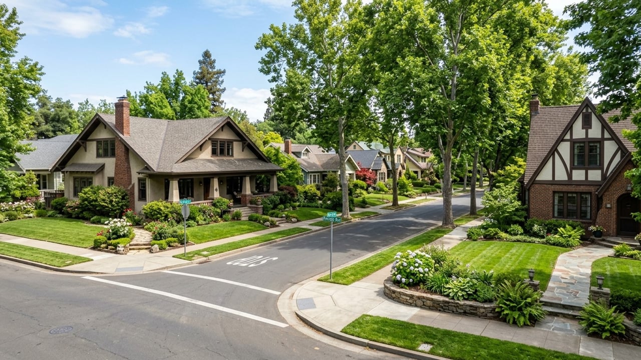
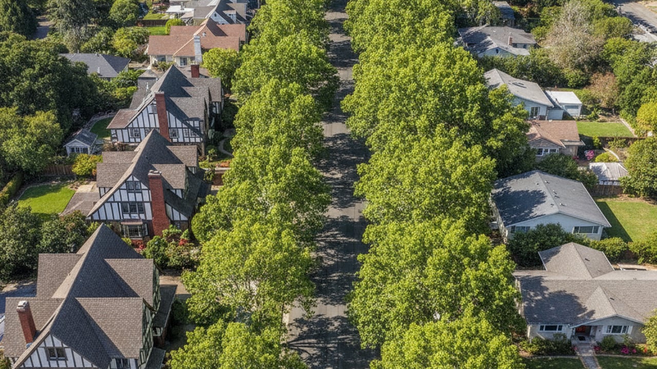
East Sacramento stands out as one of the most pedestrian-friendly districts in the region. The flat topography, mature shade trees, and continuous sidewalks make walking a highly practical way to reach local amenities. McKinley Park serves as a central geographical anchor, with residents frequently walking to the surrounding local dining spots and grocery stores.
Cyclists benefit from an array of dedicated infrastructure, including marked bike lanes on major neighborhood streets like M Street. The true highlight for active commuters is immediate access to the American River Bike Trail along the northern boundary. This fully paved, multi-use path stretches for miles, providing a scenic and completely car-free route toward Downtown Sacramento or Folsom.
The combination of the grid system and dedicated pathways makes running daily errands without a vehicle highly feasible. Buyers prioritizing a low-carbon commute will find the infrastructure highly supportive of daily cycling. Navigating on two wheels is often faster than driving during peak afternoon hours.
When travel requires leaving the immediate metropolitan area, the neighborhood offers straightforward access to regional transportation hubs. Sacramento International Airport is located approximately 15 miles northwest of East Sacramento. A typical drive or rideshare trip to the terminals takes about 20 to 25 minutes via Business 80 and Interstate 5.
For rail travel, residents can easily reach the Sacramento Valley Station located in Downtown Sacramento. This major transit hub serves as the primary boarding point for Amtrak and the Capitol Corridor train services. Reaching the station takes about 15 minutes via the Gold Line light rail or a short drive down J Street.
The Capitol Corridor is a particularly valuable asset for residents who need to commute toward the Bay Area. This passenger rail service provides a comfortable, Wi-Fi-enabled ride into cities like Richmond, Berkeley, and Oakland. It is a highly practical solution for hybrid workers who only need to visit a Bay Area office a few times a month.
East Sacramento is highly walkable, featuring a flat, historic grid system with continuous sidewalks and mature shade trees. Residents can easily navigate on foot to McKinley Park, which serves as a central hub surrounded by local dining and grocery options. Most daily errands can be accomplished without a vehicle, especially for homes located near the J Street commercial corridor.
Yes, maintaining a car-free lifestyle is entirely possible when living in the central neighborhoods. You can rely on the SacRT light rail system, extensive bus routes, and a heavy presence of Uber and Lyft drivers. The dedicated bike lanes and proximity to the American River Bike Trail also provide robust active transportation alternatives.
Sacramento operates a 43-mile light rail system managed by SacRT, which includes the Gold Line running directly through East Sacramento. Trains typically operate from 4:00 AM until midnight on weekdays, with slightly reduced hours on weekends. Commuters can easily access the 29th, 39th, and 48th Street stations for reliable daily service.
Stay up to date on the latest real estate trends.
Land Park CA
East Sacramento

Awards
Land Park CA
Land Park CA
Land Park CA
Land Park CA
Your real estate goals are within reach, and we’re here to be your guide. Whether you’re searching for your first home, looking to build your investment portfolio, or ready to maximize the sale of your property, MegaBliss Real Estate will provide the support, expertise, and dedication you need to reach your goals.
Get In Touch With Our Team To Learn More
1007 7th St Ste 400 Sacramento CA 95814 Melissa Allman | CA DRE# 01397300